Geoplan OS NGD for Public Sector
Transition from OS MasterMap to OS NGD seamlessly with our map layer, recipes, and platform.
We've invested in develpoment to accelerate the adoption of OS NGD data. We want to make it easy for you to get started with OS NGD, and get the most out of it.
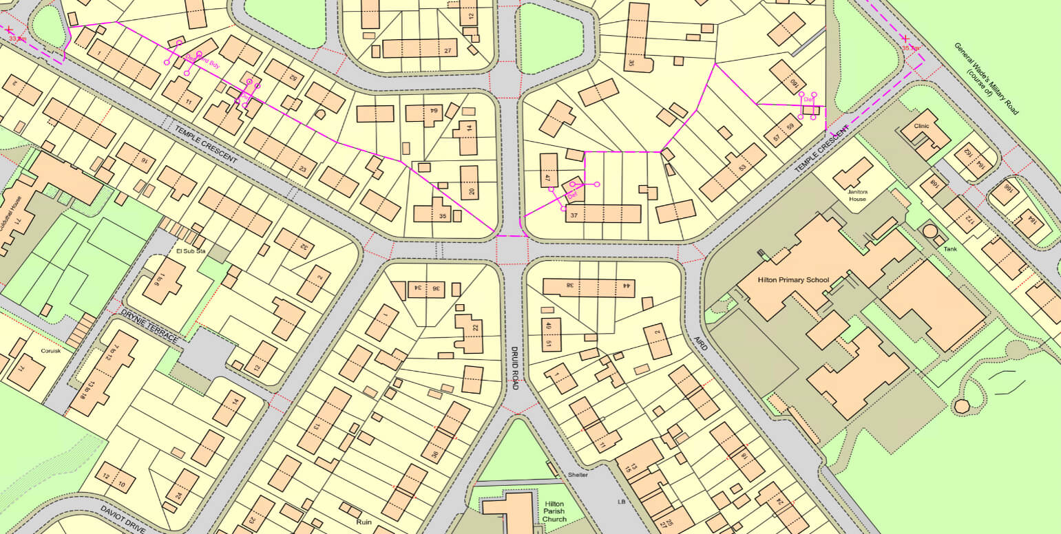
Familiar MasterMap-style cartography built from OS NGD data.
Six pre-configured data packages across sectors. Ready to use.
Full capability of Geoplan Platform. OS NGD data with Google Maps, OpenStreetMap, and other sources.
Drop-in replacement for MasterMap, powered by OS NGD data. Free for PSGA members.
See no difference? That's right!
NGD Data transformed to match MasterMap structure
Use NGD data structure as the base
Get early access to our OS NGD Topography Layer, designed to work exactly like MasterMap, or use the future-ready NGD structure.
Sector-specific recipes from OS NGD data, ready to use with your existing systems. Free for PSGA members.
Efficient public services with location data
Maximise profitability through informed development decisions
Optimise logistics through final footstep understanding
Optimise healthcare delivery and maximise sales opportunities
Operate efficiently, reduce costs, and minimise environmental impact
Enhance public safety with spatial intelligence
Need more?
Join public sector organisations getting early access to ready-to-use OS NGD recipes for your sector.
Combine OS NGD with Google Maps, OpenStreetMap, demographics, and your own data. Designed for non-technical users and without licensing complexity.
Combine your data with valuable demographic boundaries and map data to unlock powerful insights.
Easily create custom views for your specific needs. Visualise exactly what matters to your organisation.
Build new maps and performance dashboards to share insights and drive better decision-making across your teams.
Connect strategic planning with operational execution. Use location data to optimise routes, territories, and resources in real-time.
Access the full Geoplan Platform to combine OS NGD with Google Maps, OpenStreetMap, demographics, and your own data sources.
Years of experience
Consulting projects completed
Average weeks to implementation
Average cost reduction
Join organisations from the public sector who are making the transition to OS NGD seamless with our map layer, recipes, and platform.