Plan better routes, territories and sites
Use your data on one map to cut miles, balance workloads, choose locations and improve coverage.
Use your data on one map to cut miles, balance workloads, choose locations and improve coverage.

Bring your data into one place and make operational decisions you can defend, from planning through to the field.
Reduce travel time, balance workloads, and model better delivery patterns.
Design fair, efficient territories around demand, capacity, and coverage.
Compare locations using customers, competitors, catchments, and access.
See where work is happening, what is delayed, and what needs attention.
The tools you will use every day: one map, layered data, and answers exactly where you need them.
Log in to a personalised overview: network performance, projected savings, and the actions that need you next. Search takes you straight to your projects, places, and answers.
How can we help you?
South East
London Hub
North West
Manchester Central
Projected annual savings
£4.2M
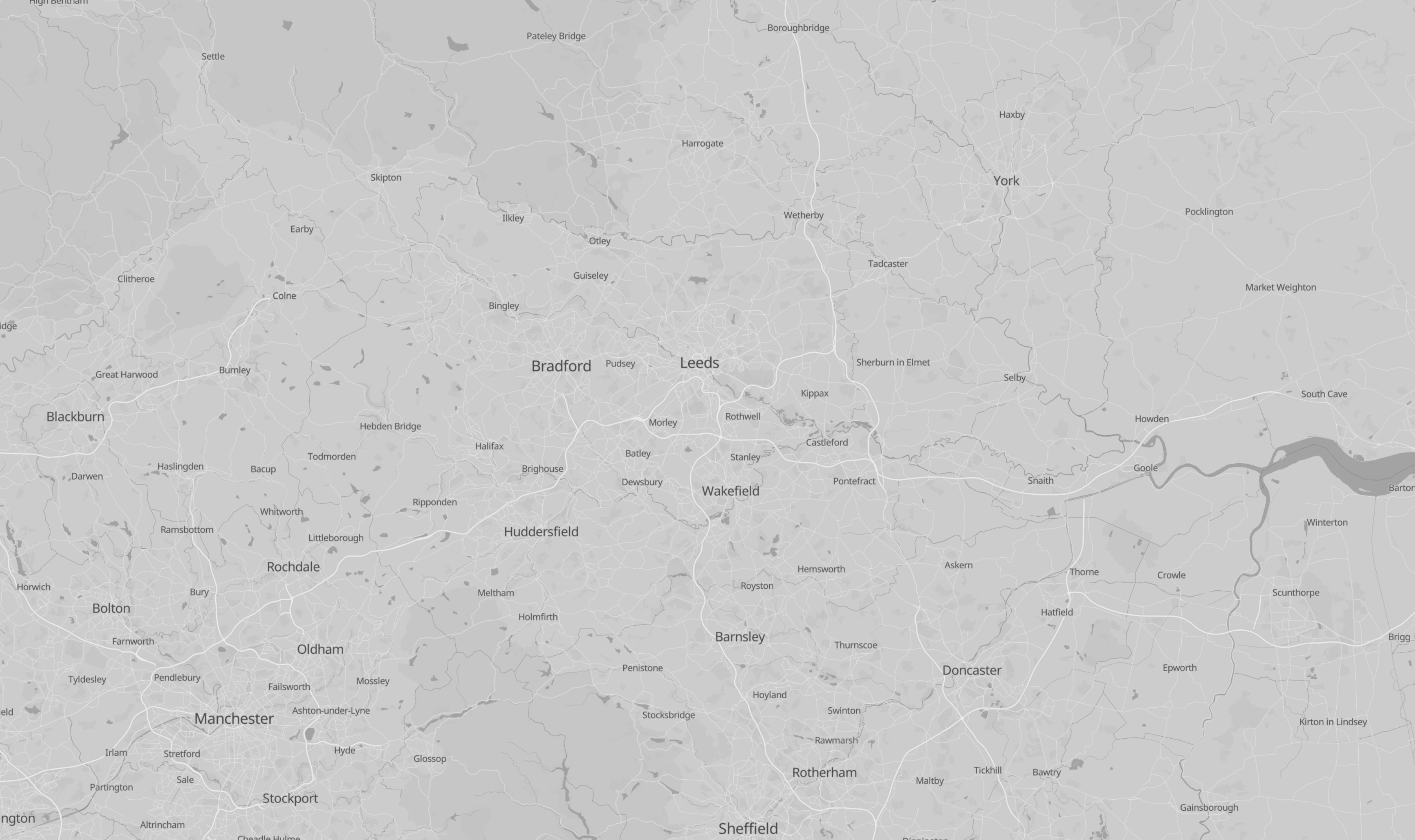
Bring customer, depot, store, asset, and postcode data into one map view. Overlay your own data as themed layers on trusted base mapping and see your whole operation in one place.
© OpenStreetMap
My data
Map base
Organise layers by theme, toggle visibility, and reorder with drag-and-drop. The map updates as you work, so you always see exactly the picture you need.
My data
Map base
Search places and postcodes, then expand the detail: demographics, catchment statistics, and address data for the places that matter to your operation.
Leeds, LS1 4AP
City Square · West Yorkshire
Age profile
Review optimiser outputs by day, week, month, or resource. See visits, travel, breaks, and capacity before the plan reaches the field.
Start with the data you already have. Geoplan helps you compare scenarios, optimise the plan, and share the answer clearly.
One platform for the decisions each sector runs on: routes, territories, sites, assets, service coverage, and risk.
Cut delivery miles and improve last-mile performance.
Know where to grow: sites, catchments, coverage.
Balance territories and build efficient call plans for field teams.
Map the assets. Plan the work. Send the right crew.
See supply, distribution, and service networks on one map.
Understand risk, coverage, and market potential by location.
1.7M UK postcodes, 32M+ delivery addresses, 1-metre positioning, postcode boundaries, Royal Mail PAF, census, demographics, POI and network data.
Built on Google, OpenStreetMap (OSM), Ordnance Survey, Royal Mail PAF, ONS Census and TomTom Traffic data.
Explore data servicesGeocoding, address matching, enrichment, validation, APIs and custom workflows turn raw records into usable planning layers.
Software plus consultants with 40+ years of data expertise and decades of planning work. You are never left alone with a map.
How we work with youBuy the Geoplan Mapping Platform on AWS Marketplace, or start a free trial.
satisfied customers
years of location intelligence experience
business through customer referral
average cost reduction in route optimisation work
See how teams use Geoplan to optimise delivery networks, field resources, territory structures, and postcode data products.
Countries optimised
FedEx: Network merger and consolidation
Reduction in resources
L'Oreal: Territory optimisation and right-sizing
Operational saving on pay
DHL: Depot optimisation and flexible payment system
Saving in drive time
Lindt: Field force management and call cycle planning
Years of partnership
Ordnance Survey: Code-Point with Polygons product
Years of partnership
Coloplast: Multi-country territory management
Join companies like EVRi, Volvo, and Lindt who use Geoplan to make smarter decisions every day.